Flood Information & Resources
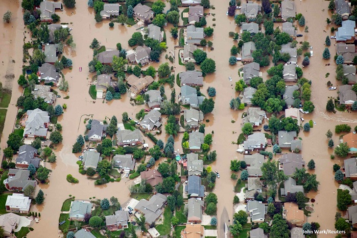
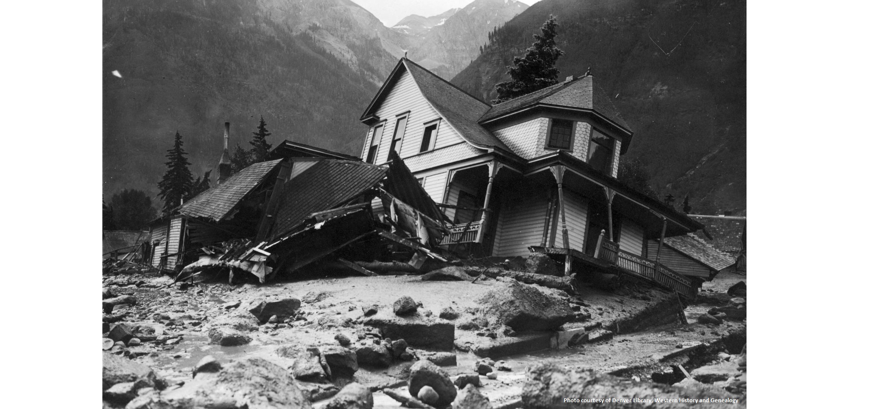
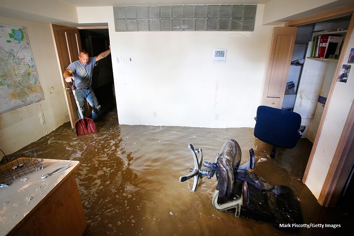
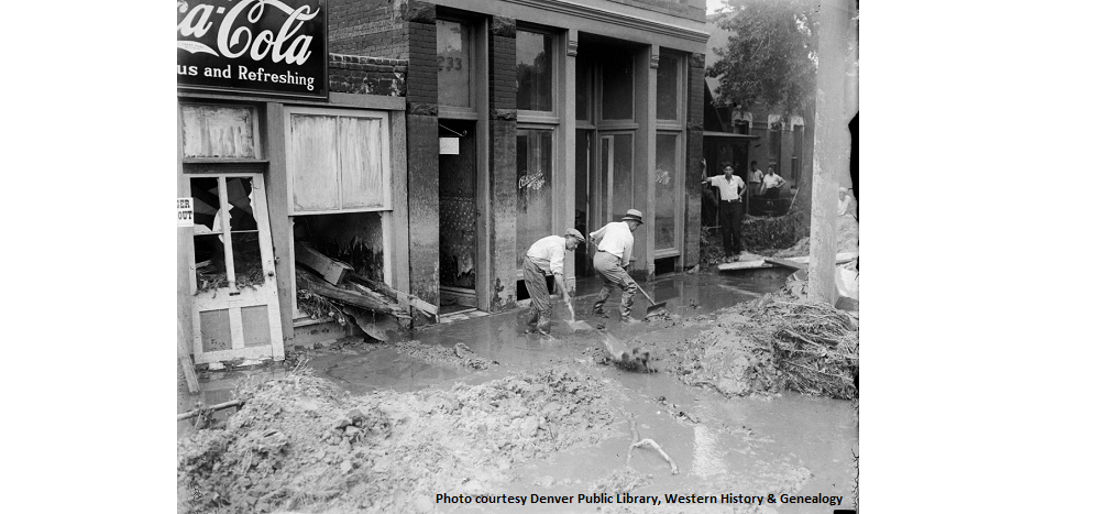
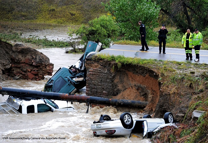
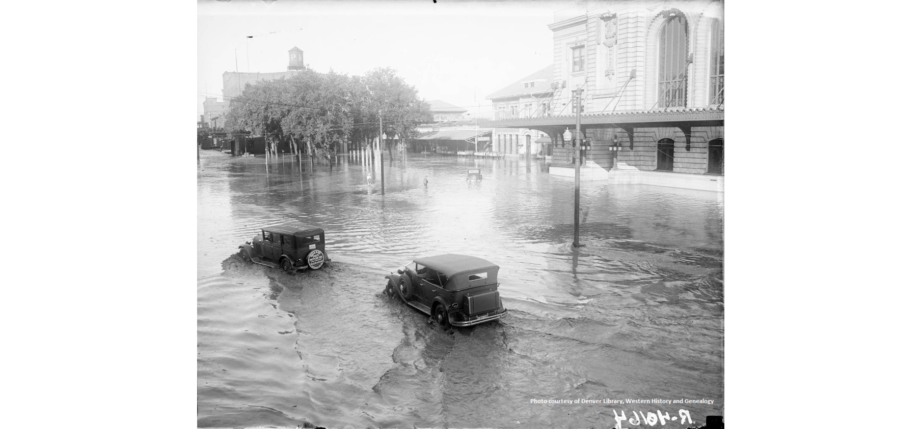
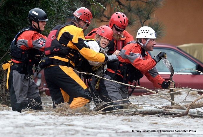
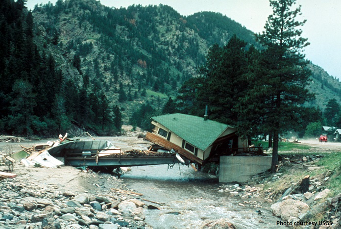
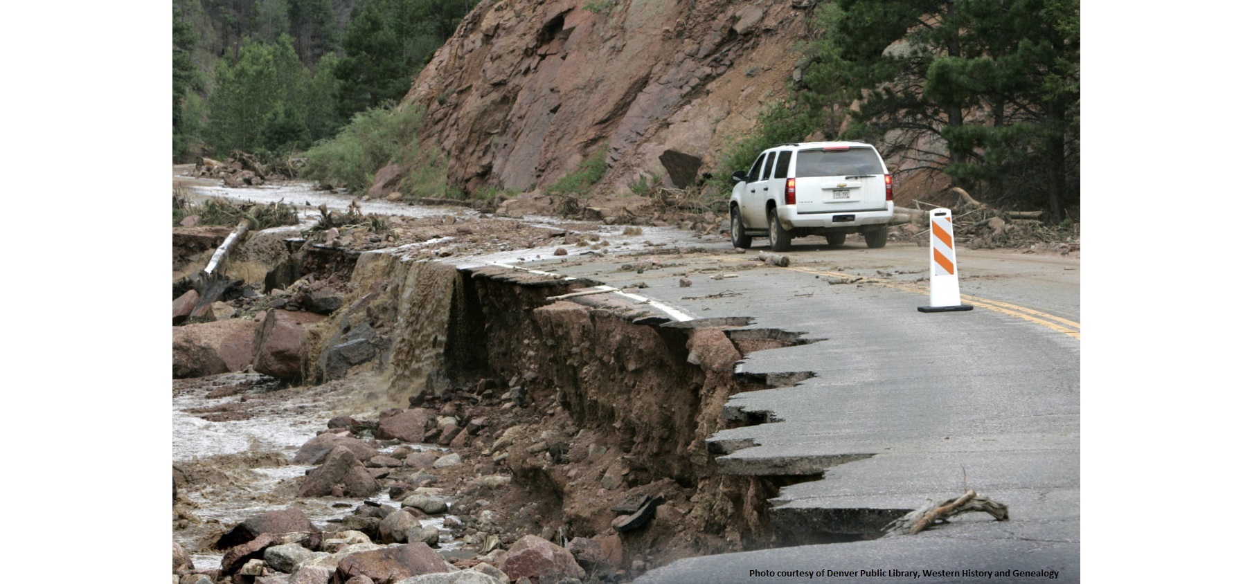
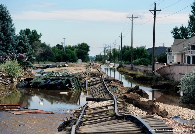
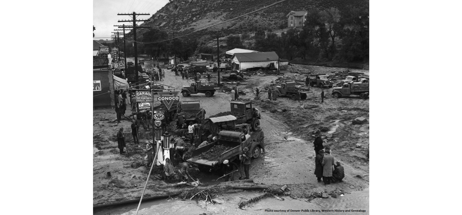
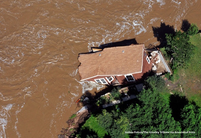
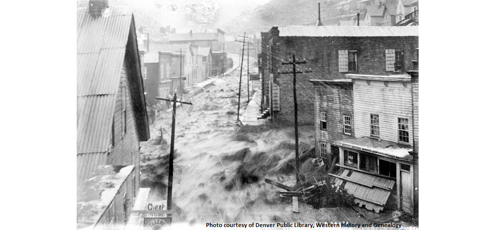
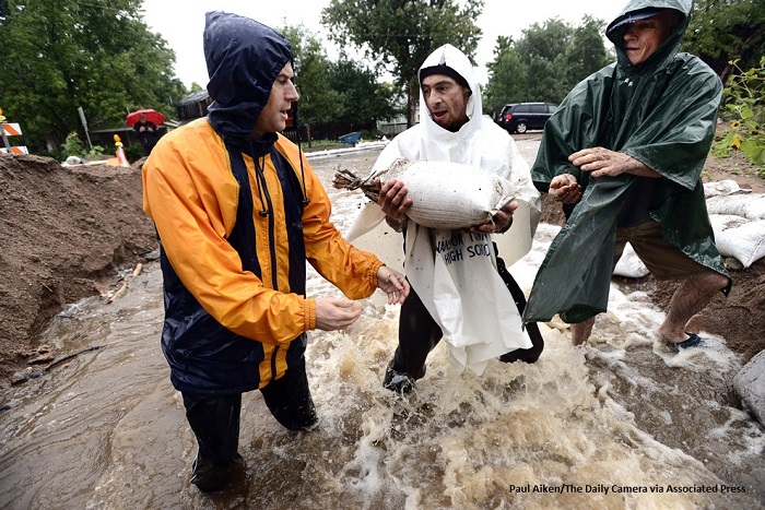
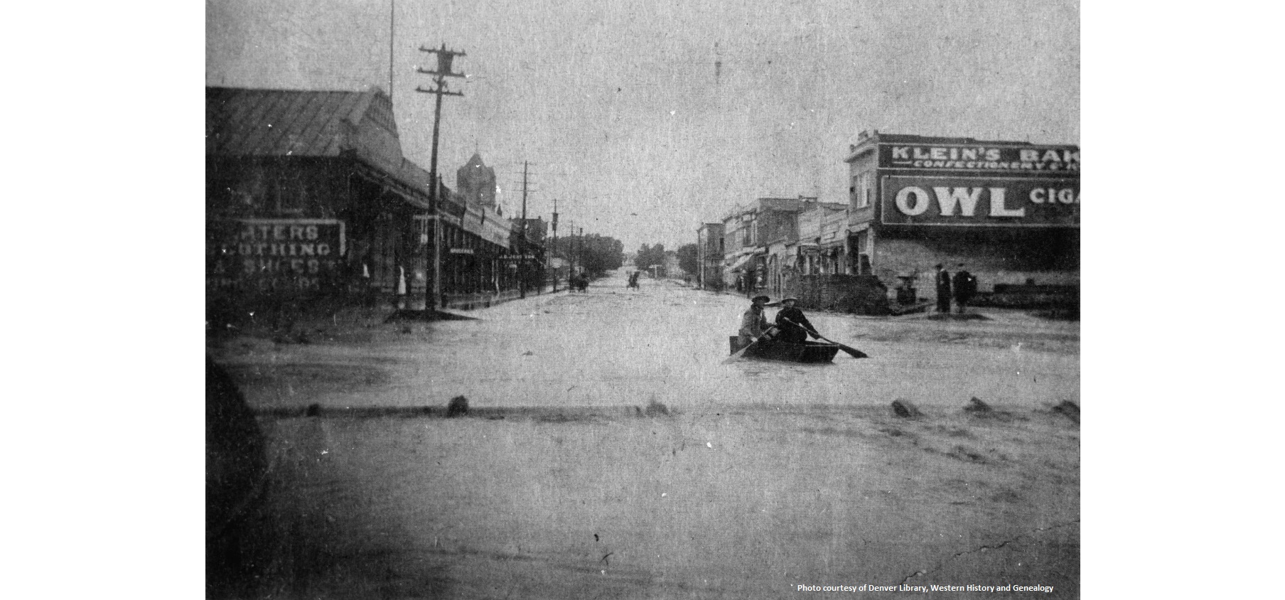
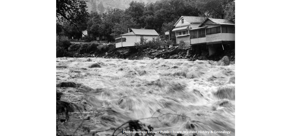
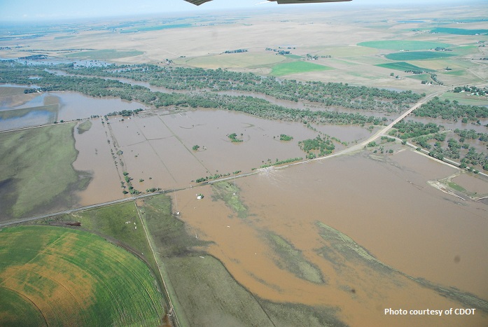
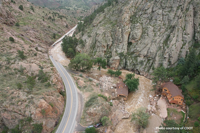
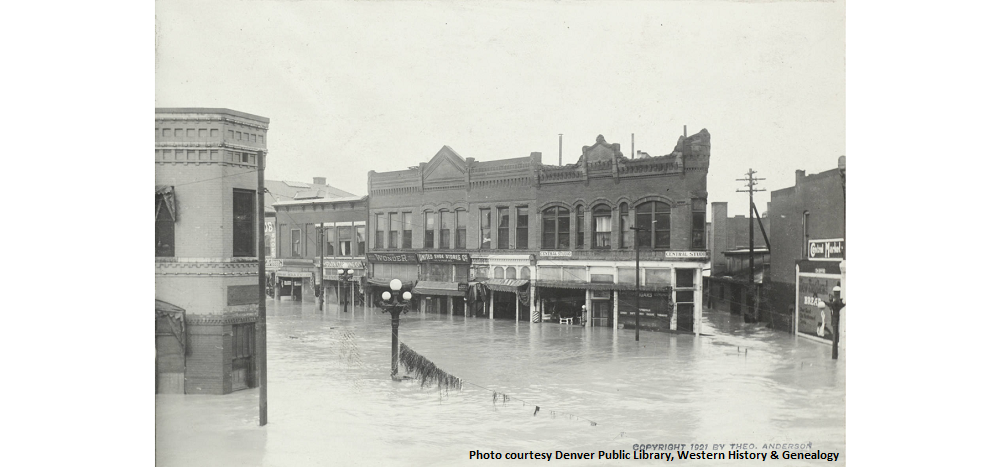
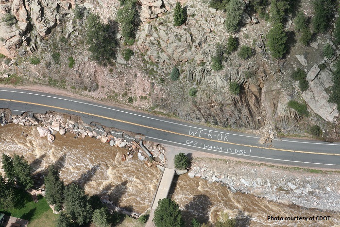
Floods are the most common and widespread of all natural hazards in Colorado and have always been a part of the state's landscape. Some floods develop slowly, but flash floods can happen in minutes. Flood-prone areas have been identified in 267 Colorado cities and towns and in all 64 counties.
Quick Links
- REPORT FLOODING: (303) 279-8855
- Colorado Flood Threat Bulletin
- FEMA FloodSmart
- Rules & Regulations for Regulatory Floodplains in Colorado
- Flood After Fire
- Disaster Recovery Guide
- Am I in a Regulated Floodplain?
- Colorado Hazard Mapping & Risk MAP Portal
- Colorado Hazard Mitigation Plan
- Colorado Fluvial Hazard Zone
Studies and Reports
Document Search
(Choose the Floodplain Documents Template to modify your search.)
The Colorado Water Conservation Board (CWCB) provides leadership to assist in the preparation for and recovery from major flood events in Colorado, including coordination of federal, state and local resources through the Colorado Flood Task Force; dissemination of flood-related information; documentation of flood damages and flooded areas; mapping and re-mapping of regulatory flood-prone boundaries based on the best available information; and technical guidance and financial support to communities on a case by case basis.
The Colorado Mitigation and Recovery Site is focused on information needed for the Colorado Division of Homeland Security and Emergency Management's stakeholders. This includes information specific to our state disasters, our state recovery programs and information to mitigate future damages - including grants.
The Colorado Department of Local Affairs' Resiliency Office (CRO) supports and empowers Colorado communities in building stronger, safer and more resilient in the face of natural disasters and other major challenges. The CRO coordinates overarching recovery and resiliency activities by collaborating with numerous multi-disciplinary local, state, federal, and private partners in setting priorities, leveraging resources, communicating, and delivering measurable results to shape an adaptable and vibrant future.
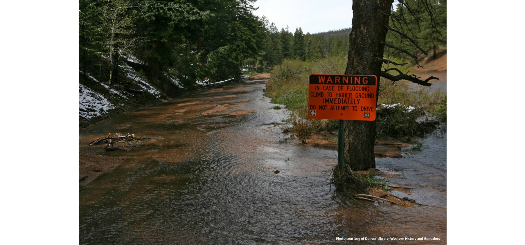
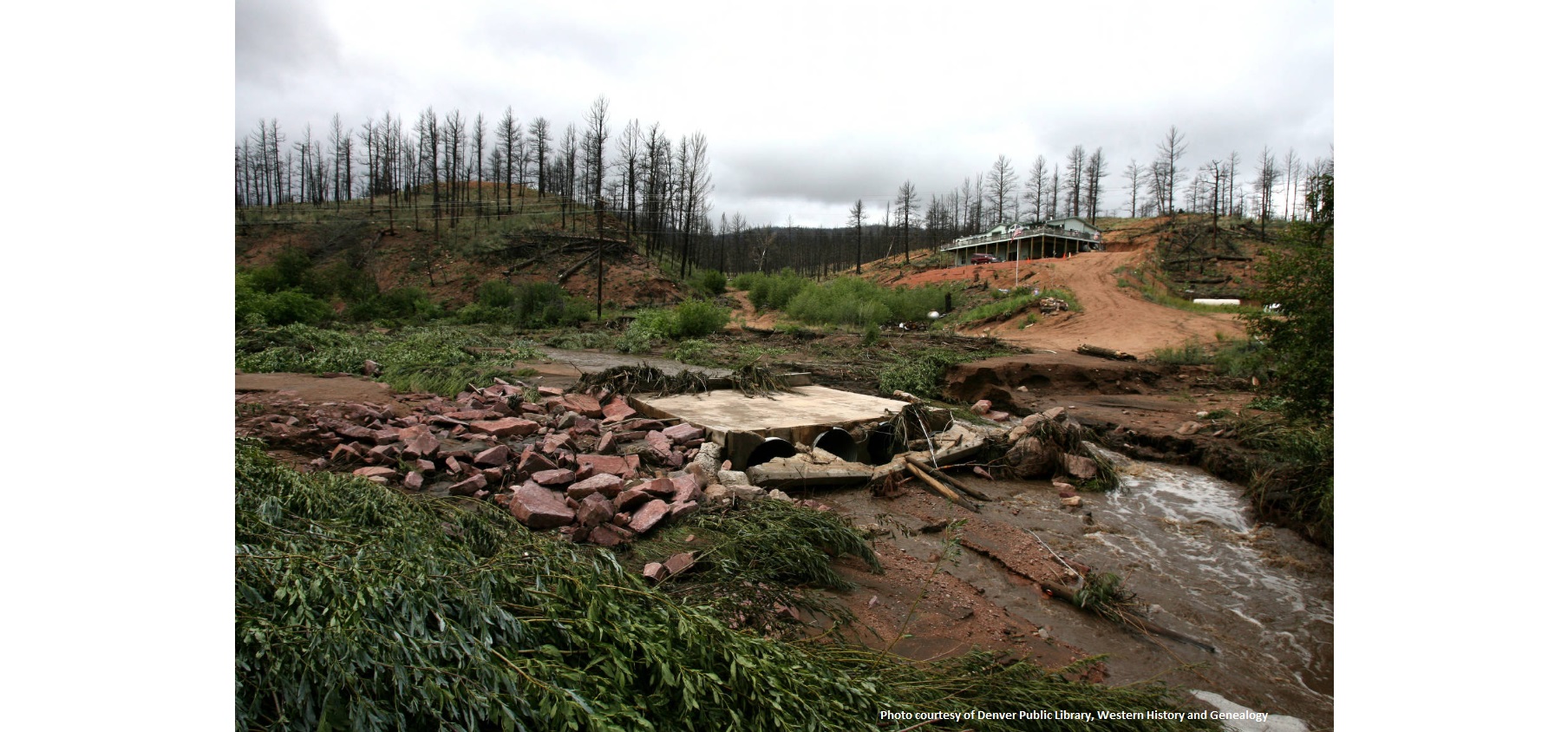
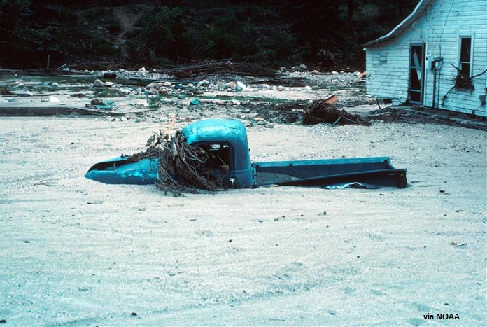
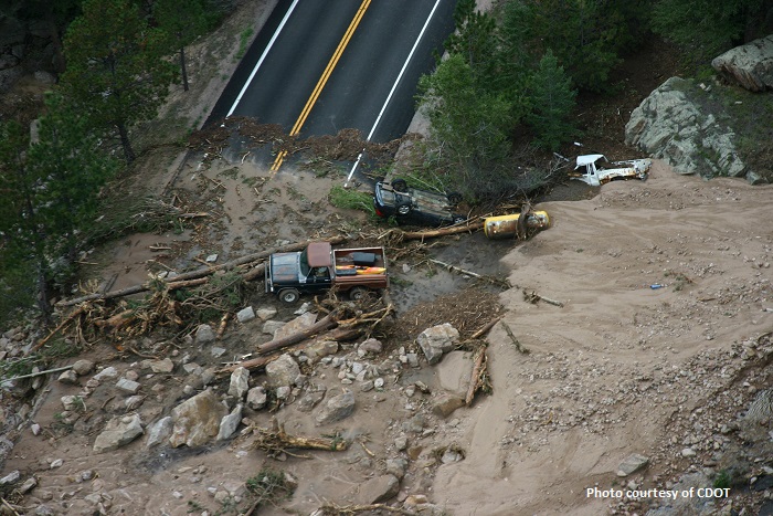
Area wildfires may increase your flood risk. Burned soil can be as water repellent as pavement. Rainfall that would normally be absorbed by soil may run off extremely quickly after a wildfire. These conditions, along with wet weather, can lead to flash flooding and mudflow for years following a wildfire. The time to get prepared is now. Visit FloodSmart.gov for more information.
The National Flood Insurance Program (NFIP) enables property owners to purchase flood insurance. Established by Congress through the National Flood Insurance Act of 1968, the NFIP is operated under the jurisdiction of the Federal Emergency Management Agency (FEMA). This flood insurance is designed to provide an alternative to federal disaster assistance for property damage caused by floods. Flood insurance is generally unavailable through private-sector insurance companies.
In Colorado, there are currently more than 20,000 flood insurance policies in effect. In addition, 253 communities in Colorado participate in the NFIP.
The Community Assistance Program (CAP) is a product-oriented financial assistance program directly related to the flood loss reduction objectives of the NFIP. States and communities that are participating in the NFIP are eligible for this assistance.
The CAP is currently managed by the CWCB Watershed Protection and Flood Mitigation section and is intended to identify, prevent and resolve floodplain management issues in participating communities before they develop into problems requiring enforcement action. CWCB staff provide technical assistance to communities and evaluate community performance in implementing NFIP floodplain management activities with the additional goal of building state and community floodplain management expertise and capabilities.
In Colorado, this program has been in existence for more than 20 years. It has been effective in helping communities to understand the benefits of the NFIP and to assist in making sure that they follow the program guidelines.
The objective of the Community Rating System (CRS) is to reward communities doing more than the minimum NFIP requirements for flood prevention and loss reduction, and to provide incentives for communities to improve their flood protection programs. Under the CRS, flood insurance premium rates are lowered when a community takes extra action to reduce flood damages. The insurance savings can range from 5% to 45%. Most practices are implemented at the local level, although some state and district program activities can increase local credits.
In Colorado, 47 of the 253 Colorado communities in the NFIP are currently in the CRS.
Doug Mahan
NFIP Community Assistance Program Coordinator
(303) 866-3441 x3221
The Colorado Hazard Mapping Program aims to provide a mitigation and land use framework in areas likely to be affected by future flooding, erosion, and debris flow.
- CWCB Adopted Floodplain Rules and Regulations
- 2021-2022 Rules Update
- CWCB Policy #21 "Implementation of Higher Floodplain Management Standards"
- Benefit, Cost, and Regulatory Analysis
- Floodplain Rules Guidance Document
- CO Flood Hazard Mitigation Plan
- Colorado Model Floodplain Development Regulation/Ordinance
- FEMA Model Floodplain Development Permit Application Template (MS Word)
- FEMA Model Floodplain Development Permit Application Template (PDF)
- Floodplain and Stormwater Criteria Manual